Reykjanes is the one place in Iceland where you can drive along the Mid-Atlantic Ridge as it comes ashore. The plates pull apart here by about 2 cm a year, and after 800 quiet years the peninsula woke up in 2021. Since then there have been three eruptions at Fagradalsfjall and nine on the Sundhnúkur crater row above Grindavík. That makes it the best geology classroom near Reykjavík, and the one where conditions change fastest. Here are nine stops, what you’re looking at in each, and what’s open now.
What’s open after the eruptions (November 2026)
- No eruption right now. The ninth Sundhnúkur eruption ended on 5 August 2025 (Icelandia).
- But a new one is likely. On 27 October 2026 the Icelandic Met Office reported steady uplift and magma still building up under Svartsengi. A new intrusion towards Sundhnúkur remains the most likely scenario, possibly with short warning. The current hazard map is valid until 5 January 2027, with Grindavík in the orange (considerable) zone (Icelandic Met Office).
- Grindavík is open to visitors. You can drive in and park for free, and Café Bryggjan at the harbour reopened on 1 May 2026 (A Social Nomad, August 2026). Stay on marked paths: the ground in town still has open cracks.
- The Blue Lagoon is open, but it has closed for short periods as a precaution during past eruptions. Book ahead.
- If an eruption starts: roads near it can close within minutes, and you must not stop or park along Reykjanesbraut (Route 41) between Reykjavík and the airport.
The route
Drive it as a loop: south from Reykjavík on Route 42 to Kleifarvatn and Krýsuvík, west along the south coast to Grindavík and the tip of the peninsula, then north past the Bridge Between Continents and back on Route 41. About 200 km, all on paved roads, so any rental car is fine. Not got one yet? We recommend Reykjavik Cars and, for campervans, Motorhome Iceland. More options on our car rental page.
- Check Route 427 (Suðurstrandarvegur, Krýsuvík–Grindavík) on umferdin.is before you leave. If it’s closed, return from Krýsuvík the way you came and reach Grindavík on Route 43 instead.
- In winter, Route 42 over the Vatnsskarð pass to Kleifarvatn can be icy and is sometimes closed. Daylight in December is only 4–5 hours, so start at first light.
- Close to the airport: most of the western stops are 20–40 minutes from Keflavík, so the loop works on your first or last day.
The nine stops
1. Kleifarvatn: a lake in a rift
The largest lake on the peninsula fills a valley that sank between two faults as the crust pulled apart. It has no river flowing out of it, so its level rises and falls with rain and earthquakes: after the June 2000 earthquakes it lost several metres of water through new cracks in the lake bed. The black sand shore and the steep hyaloclastite ridges around it are lava that erupted under the Ice Age glacier. Free parking by the road.
2. Seltún (Krýsuvík): the colours of a geothermal field
Steam vents, boiling mud pots and slopes painted yellow, red and grey. The colours come from sulphur and from rock that hot, acidic steam has broken down into clay. Water just below the surface is close to boiling, so stay on the boardwalks: the ground can collapse under your feet. Parking is 750 ISK, paid on checkit.is.
3. Fagradalsfjall: where the new era began
In March 2021 lava broke through here for the first time on the peninsula in about 800 years. Two more eruptions followed nearby in 2022 and 2023. The car parks are on Route 427, and parking is 1,000 ISK per day in the Parka app (Go Campers). The hike onto the 2021 lava field takes several hours on rough ground. Check safetravel.is first: in strong wind or rain the trails are no place for a first-timer.
4. Grindavík: a town between lava walls
Grindavík was evacuated in November 2023, when a magma intrusion opened cracks right through the town. Lava from the Sundhnúkur eruptions has since reached its edge, and earth barriers several metres high now curve around it. Driving in on Route 43, you cross lava from 2024. Park in town, walk to the harbour, and look at the broken streets and the barriers, but don’t step over fences or into cracks.
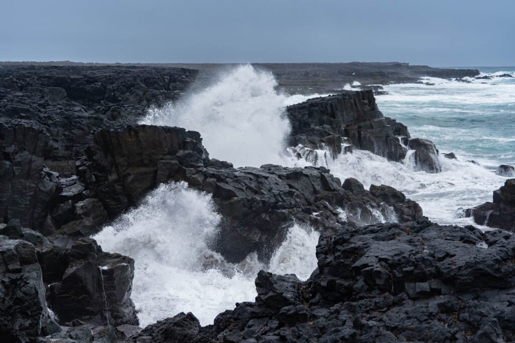
5. Brimketill: a pool carved by the sea
West of Grindavík, the Atlantic has hollowed a round pool into a shelf of old lava. It shows how fast waves erode young volcanic rock. A short path leads to a viewing platform. Free parking, but big waves can wash over the platform without warning, so keep back in rough seas.
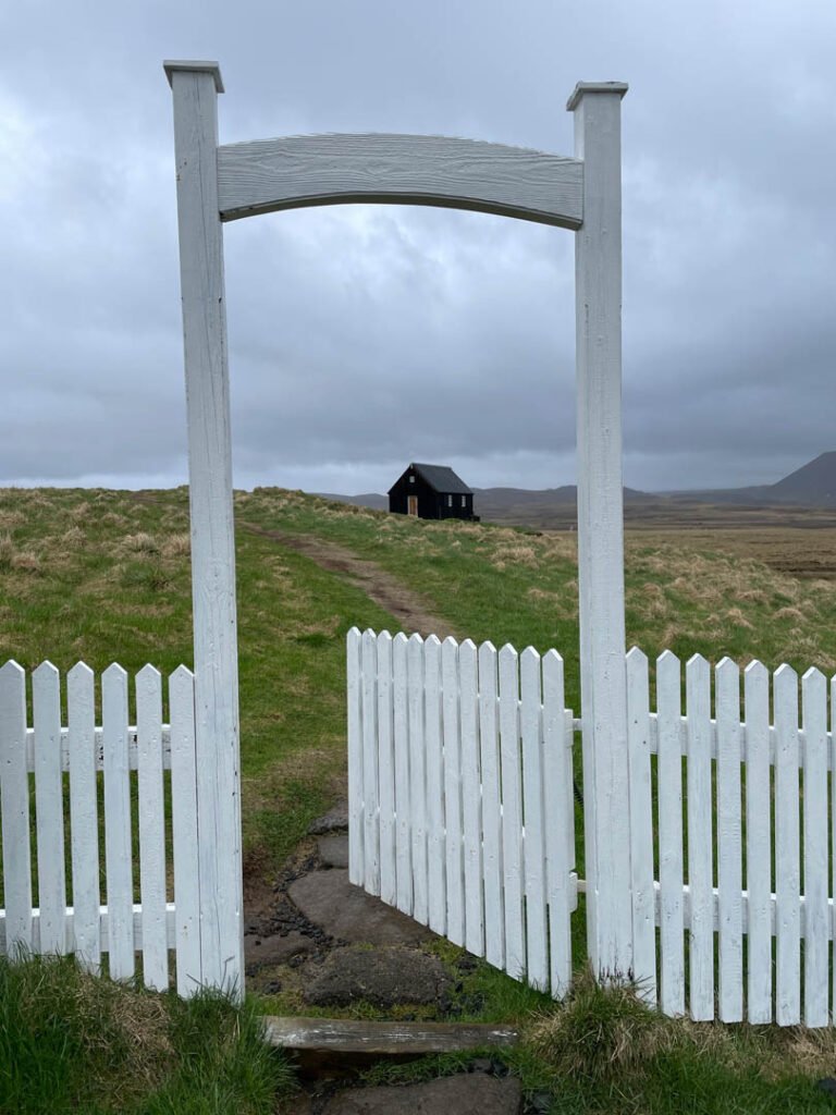
6. Gunnuhver: the loudest steam on the peninsula
A field of roaring steam vents and boiling mud, right on the plate boundary. Underground, sea water seeps into hot rock and turns to steam, and the nearby Reykjanes power station uses the same heat. Boardwalks keep you clear of the hottest ground, and the steam is scalding, so watch where the wind blows it. Free parking.
7. Reykjanesviti and Valahnúkur: the tip of the ridge
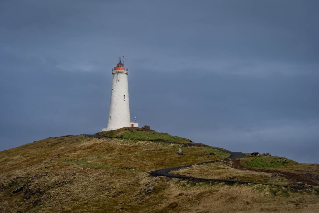
The lighthouse stands on a hill at the south-west tip of the peninsula. Below it, the Valahnúkur cliffs are layers of ash and broken lava from eruptions in the sea, cut open by the waves. On a clear day you can see the bird rock Eldey on the horizon, a volcano that rises out of the sea about 15 km away. Parking for both is 1,000 ISK.
8. Bridge Between Continents: walk across the rift
A footbridge spans a sand-filled fissure in the rift zone, the gap where the North American and Eurasian plates pull apart. The real boundary is a zone many kilometres wide, not a single crack, but this is the easiest place to see it. Free parking, 15–20 minutes.
9. Svartsengi and the Blue Lagoon: lava at the gate
On the way back, Route 43 runs past the Svartsengi power plant and the Blue Lagoon, both now wrapped in earth barriers built to stop the lava. From the road you can see where the flows stopped against them. Don’t stop on the road shoulder; use the official car parks.
When to take a certified guide
Most of this loop is roadside stops with short paths, and you can do it on your own. A guide makes sense when:
- You want to walk on new lava. Young lava is sharp, hollow in places and can still be hot inside, and near active areas there are volcanic gases you can’t see. A guide knows which trails are safe that week.
- An eruption starts. Viewing areas, closures and gas forecasts change by the hour. Guides follow the Civil Protection updates and take you only where it’s allowed.
- It’s winter or the weather is bad. Route 42 and the south coast road can be icy and windy, with only a few hours of light.
- You want to understand what you see. Our guides explain the geology stop by stop, which turns a row of viewpoints into a story.
Reykjanes with Zimno
- Reykjanes Peninsula Private Tour: 8 hours with hotel pickup at 9:00, by SUV (up to 4) or van (up to 7). Lava fields, geothermal areas, sea cliffs and lighthouses, with parking fees, transport and a photo package included. Add the Blue Lagoon or a volcano hike on request. From 97,000 ISK.
- Tailored Private Adventure Tour: build your own day, for example Reykjanes on the way to or from the airport.
Every tour can be guided in English or in Polish. See all our tours.
Before you go: a 1-minute checklist
- Read the latest Reykjanes update on vedur.is the morning you go
- Check Routes 42, 427 and 43 on umferdin.is
- Have the Parka app and checkit.is ready for parking
- Wear sturdy shoes: lava and boardwalks are slippery when wet
- Stay on paths at Seltún and Gunnuhver, and behind fences in Grindavík
- Never stop on the shoulder of Route 41 or 43
- Leave a travel plan on safetravel.is if you hike to Fagradalsfjall
The stops at a glance
| Stop | What you see | Parking (ISK) | Time |
|---|---|---|---|
| Kleifarvatn | Lake in a rift valley, black sand | Free | 20–30 min |
| Seltún (Krýsuvík) | Mud pots, steam vents, coloured clay | 750 (checkit.is) | 30–45 min |
| Fagradalsfjall | Lava fields from 2021–2023 | 1,000 per day (Parka) | 2–5 hours with the hike |
| Grindavík | Cracked town, lava barriers, harbour | Free | 30–60 min |
| Brimketill | Sea-carved pool in lava | Free | 15–20 min |
| Gunnuhver | Steam vents, boiling mud | Free | 30–45 min |
| Reykjanesviti and Valahnúkur | Lighthouse, sea cliffs, view to Eldey | 1,000 | 30–45 min |
| Bridge Between Continents | Footbridge over a rift fissure | Free | 15–20 min |
| Svartsengi and Blue Lagoon | Lava stopped by barriers | Official car parks only | Drive past, or a lagoon visit |
FAQ
Is Reykjanes safe to visit in 2026?
Yes, with checks. There has been no eruption since 5 August 2025, and Grindavík, the Blue Lagoon and the coastal sights are open. Magma is still collecting under Svartsengi, so read the Icelandic Met Office update and umferdin.is on the day you go.
Can I visit Grindavík?
Yes. The town is open to visitors, parking is free and some cafés have reopened. Stay on marked paths and behind fences, because there are still open cracks in the ground.
How long does a Reykjanes road trip take?
A full loop from Reykjavík is about 200 km and takes 6–8 hours with stops, or longer if you hike to the Fagradalsfjall lava fields.
Do I need a 4×4 for Reykjanes?
No. All the stops in this guide are on paved roads. In winter, choose a car with good winter tyres and check Route 42 before you go.
Where can I walk across the plate boundary?
At the Bridge Between Continents near Hafnir, a footbridge over a fissure in the rift zone between the North American and Eurasian plates. Parking is free.
Can I see an eruption if one starts?
Only from areas the authorities open. Follow vedur.is and Civil Protection, never stop on Route 41, and consider a guided tour, which knows where viewing is allowed.