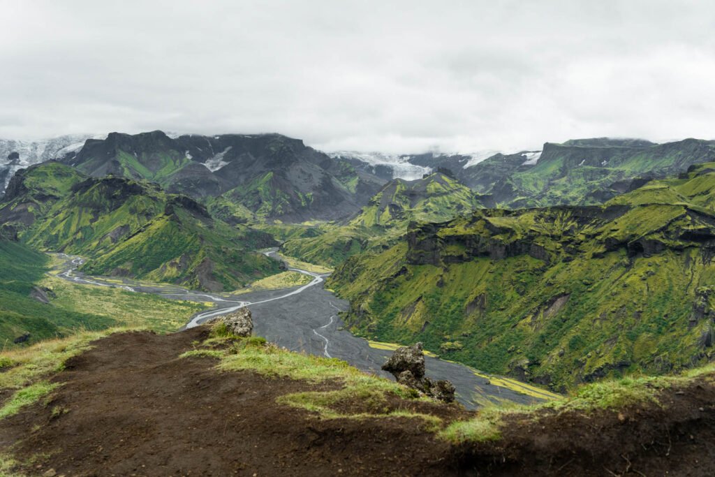
Fimmvörðuháls is the pass between two ice caps, Eyjafjallajökull and Mýrdalsjökull. The trail starts at Skógafoss, follows a river full of waterfalls up to the pass, crosses fresh lava from the 2010 eruption and drops into Þórsmörk, a green valley of birch and moss. It’s one of the best day hikes in Iceland. The hard part for drivers isn’t the walk. It’s that the trail ends somewhere your car can’t go. Our guides lead this route every summer, so here’s how we’d plan it if you’re driving yourself.
Why you can’t drive to Þórsmörk
Þórsmörk is reached by road F249, which ends with several unbridged glacial rivers, the biggest being the Krossá. The water is fast, cold and grey with silt, so you can’t see the bottom, and its depth changes during the day as the glaciers melt. Reykjavík Excursions warns that regular cars and small SUVs aren’t suitable, and that getting stuck is a real possibility.
- Insurance: rental insurance in Iceland doesn’t cover water damage from river crossings, even on a 4×4 that’s allowed on F-roads. A flooded engine is paid by you.
- The highland buses that do cross the rivers are high-clearance trucks and buses with drivers who cross them every day. Use them.
- The road to the trailhead is easy: Skógar is right off the Ring Road (Route 1), about 155 km and 2 hours from Reykjavík. Any car will do. Still looking for one? We recommend Reykjavik Cars and, for campervans, Motorhome Iceland. More options on our car rental page.
The trail in numbers
- Distance: about 25 km, one way, from Skógafoss to Básar in Þórsmörk.
- Climb: about 1,000 m up and 800 m down. The highest point is around 1,000–1,100 m, between the two ice caps.
- Time: 8 to 12 hours for most fit hikers. Útivist puts it at about 5 hours from Skógar to the pass and 4.5 hours from the pass down to Básar (Útivist).
- Season: usually late June to early September (Guide to Iceland). The two huts on the pass are staffed from mid or late June to the end of August or mid-September. Outside that window the pass is in winter conditions.
- Water: there’s none on the upper part of the trail and no water supply at the huts. Fill up from the streams along the waterfalls and carry at least 1.5 litres.
Four ways to get back to your car
This is the part most hikers get wrong. Decide where your car waits before you start, and book the bus before you leave Reykjavík, because seats can sell out in July and August.
- 1. Park at Skógar, take the evening bus back. Southcoast Adventure runs buses out of Þórsmörk (Básar, Langidalur and Húsadalur). Only its evening departure goes to Skógar: it leaves Þórsmörk at 20:30 and reaches Skógar at about 22:00. A single ticket costs 12,990 ISK (Southcoast Adventure, 2026). It’s the simplest option: you start from your car and finish next to it, with no early bus to catch. The 1,000 ISK parking ticket at Skógafoss covers the whole day.
- 2. Park in Hvolsvöllur, take the bus both ways. Leave the car at the N1 station in Hvolsvöllur, take a morning bus to Skógar and ride back from Þórsmörk to Hvolsvöllur. A single ticket from Þórsmörk to Hvolsvöllur is 10,000 ISK with Southcoast Adventure. The Reykjavík Excursions Highland Bus also stops in Hvolsvöllur, with departures from Básar at 15:00 (1 June to 24 September) and 20:00 (20 June to 30 August) in 2026 (Icelandia).
- 3. Leave the car in Reykjavík. The Highland Bus runs from BSÍ in Reykjavík to Skógar (13 June to 20 September 2026) and from Þórsmörk back to Reykjavík. You save the driving and the kilometre fee, but it’s a 3-hour ride each way.
- 4. Split it over two days. Sleep at one of the huts on the pass, Baldvinsskáli (FÍ, 900 m) or Fimmvörðuskáli (Útivist, about 1,100 m), or in Þórsmörk at the end. Both pass huts sleep 16 and are booked well ahead. This takes the time pressure off the bus.
Whichever you pick, count backwards from your bus. If you take the 20:30 bus back to Skógar, a 10-hour hike means leaving Skógafoss by about 9:30, with an hour to spare for weather and photos.
The hike, section by section
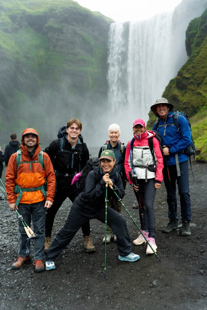
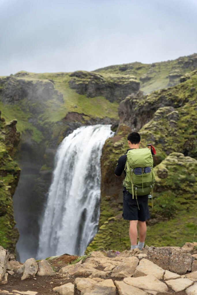
- Skógafoss to the footbridge (about 8 km): a steady climb on a good path beside the Skógá river, past more than 20 waterfalls. Easy to follow, and the most crowded part.
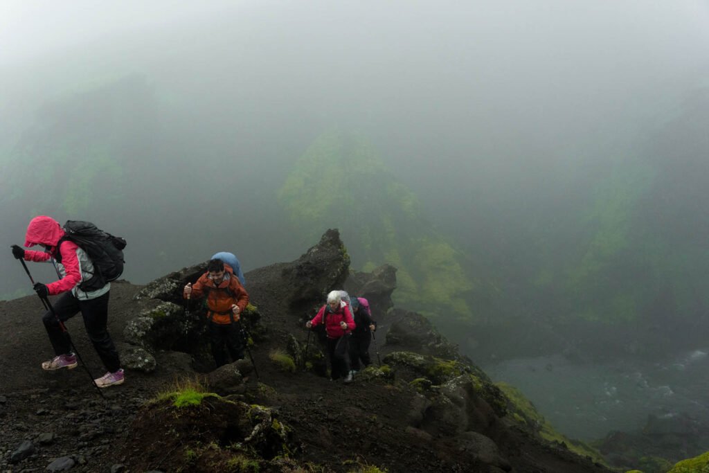
- The footbridge to the pass (about 8 km): the landscape turns to gravel, snow patches and the Baldvinsskáli hut. Snowfields can last into July, and in fog the marker poles are your only guide.
- Magni and Móði: the two craters and the lava field from the 2010 eruption, on the high plateau. The ground can still be warm. Stay on the trail; the young lava is sharp and loose.
- Down to Þórsmörk (about 9 km): the steep descent over Heljarkambur, a narrow ridge with a chain for support, and the Kattarhryggir ridge. Then a long, steep path down into Goðaland and the Básar huts, where the buses stop.
When to take a certified guide
On a clear day in August, a fit hiker with good boots and navigation can do Fimmvörðuháls alone. The trouble starts when conditions are worse than that. Take a guide if any of these apply:
- The forecast for the pass is poor. Wind and rain at 1,000 m are much stronger than in Skógar. If the mountain forecast on vedur.is shows strong wind or heavy rain, a guide can tell you whether to go, wait or turn back.
- It’s early or late in the season. In June and September there’s snow on the plateau, and the marker poles can be buried. In fog, snowfields all look the same.
- You’re not used to exposure. Heljarkambur and Kattarhryggir are short but steep, with drops on both sides. A guide sets the pace and shows you where to put your feet.
- You want to do it off-season. Outside summer the trail is a winter mountain route. Right now, in late October 2026, FÍ, Útivist and the local rescue team advise against crossing the pass because heavy rain has made parts of the trail impassable.
- You don’t want to deal with the logistics. A guide handles the timing, the weather call and the bus.
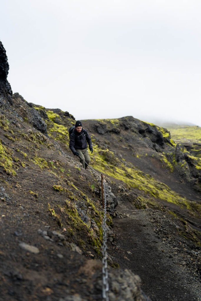
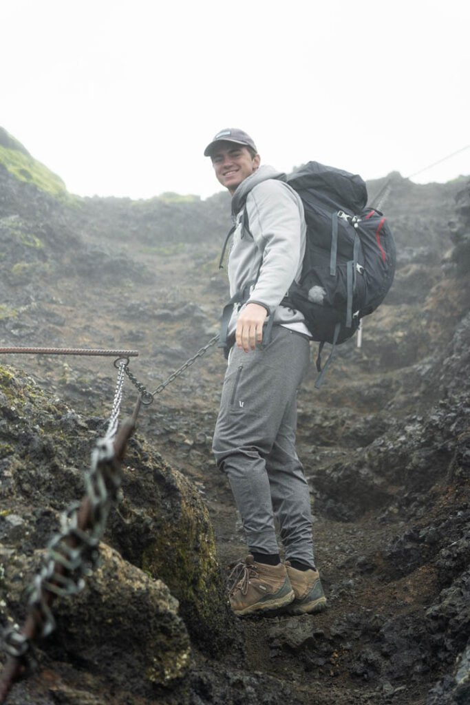
Hiking Fimmvörðuháls with Zimno
- Fimmvörðuháls Private Hike – meet on location: we meet at the Skógafoss car park at 8:30, so you can drive there yourself. 10–12 hours, just your group (up to 6), from age 14. Transport to the start can be arranged on request, and at the end we take the highland bus back from Þórsmörk together. From 239,000 ISK per group.
- Fimmvörðuháls and Þórsmörk 3-Day Hike from Reykjavík: no car needed. The bus from Reykjavík and back, two nights in mountain huts with a sauna, meals and a day to explore Þórsmörk are included. Dates for summer 2027 are set. From 189,000 ISK per person.
Every hike includes a certified mountain guide, micro-spikes if needed and a photo package. Tours are in English, and we also guide in Polish. See all our tours.
Before you go: a 1-minute checklist
- Check the mountain forecast on vedur.is one or two days before, not a week before
- Check safetravel.is for trail warnings and leave a travel plan there
- Book your bus out of Þórsmörk, and note the departure time and stop (Básar, Langidalur or Húsadalur)
- Pay for parking in the Parka app when you arrive at Skógafoss (one ticket covers the whole day)
- Pack waterproof jacket and trousers, warm layers, gloves, hat, lunch, snacks and 1.5 l of water
- Wear proper hiking boots and take poles for the descent
- Turn back if the weather on the pass turns bad. The waterfalls are still worth it
What the day costs
| Item | Price (ISK) | Notes |
|---|---|---|
| Parking at Skógafoss | 1,000 | Paid in the Parka app, valid for the whole day |
| Bus Þórsmörk → Skógar | 12,990 | Southcoast Adventure, leaves 20:30, arrives about 22:00 |
| Bus Þórsmörk → Hvolsvöllur | 10,000 | Southcoast Adventure, single ticket |
| Kilometre fee, Reykjavík–Skógar return | about 2,150 | About 310 km at 6.95 ISK/km, billed by your rental company |
| Night in a pass hut (optional) | check when booking | Baldvinsskáli or Fimmvörðuskáli, book months ahead |
FAQ
Can I drive to Þórsmörk in a rental car?
No. Road F249 crosses unbridged glacial rivers, including the Krossá, and rental insurance in Iceland doesn’t cover river damage. Take a highland bus or a guided tour into Þórsmörk.
How long is the Fimmvörðuháls trail?
About 25 km from Skógafoss to Básar in Þórsmörk, with around 1,000 m of climbing. Most hikers need 8 to 12 hours.
How do I get back to my car at Skógar?
Take the Southcoast Adventure bus that leaves Þórsmörk at 20:30 and reaches Skógar at about 22:00 (12,990 ISK in 2026), or leave your car in Hvolsvöllur and ride the bus both ways. Book before you start.
When is Fimmvörðuháls open?
The trail is usually snow-free enough to hike from late June to early September, when the huts are staffed and the highland buses run. Outside that period it’s a winter mountain route.
Do I need a guide for Fimmvörðuháls?
Not on a clear summer day if you’re an experienced hiker. Take a certified guide in poor weather, early or late in the season, if there’s snow on the pass, or if you’re not comfortable on exposed ridges.
Can I hike Fimmvörðuháls in October or winter?
Only as an experienced winter mountaineer with full equipment. In late October 2026, FÍ, Útivist and the local rescue team advised against crossing the pass because heavy rain had damaged the trail.